Events
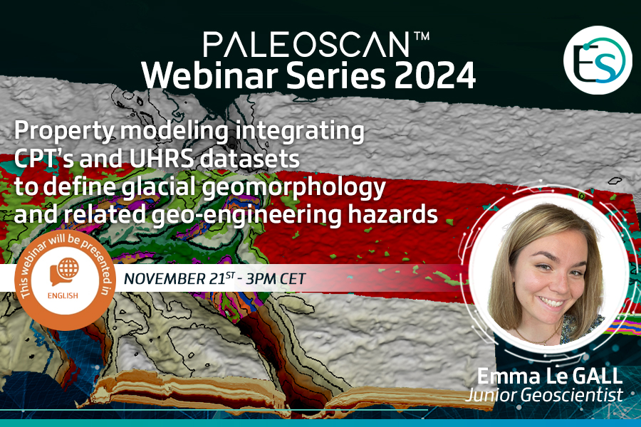
Property modeling integrating CPT’s and UHRS datasets to define glacial geomorphology and related geo-engineering hazards

When
3pm - 4pm CET
Where
LocateOffshore wind farm development is a critical component in the transition towards decarbonized energy production. Studies prior to geo-engineering operations include geohazard assessment to avoid failure in foundation drilling and cable backfilling operations. 3D UHRS provides images with a fifty-centimeter resolution which combined with centimeter resolution CPTs logs, form efficient tools in the detection of shallow geohazards in the first hundreds of meters below seafloor.
Located in the Dutch shelf of the North Sea, the TNW case study has shown a wide range of paleoenvironments as a result of Pleistocene glaciations. Resulting sea level fluctuations have led to the deposition of various types of sediments which were subsequently glaciotectonised.
An integrated study has been conducted to characterize the glacial geomorphology and spatial facies variability with the area of interest. CPTs logs were propagated to map static soil properties within a semi-automated and signal-driven Relative Geological Time (RGT) model. The use of semi-automated workflows in the PaleoScan™ software allowed for efficient handling of both geophysical and geotechnical datasets to better understand the glacial geomorphology and the location of geo-engineering hazards.
Join this webinar to explore how advanced techniques were used to provide new insights into these complex environments.
This event will be presented in English by Junior Geoscientist Emma Le Gall.
REGISTRATION

